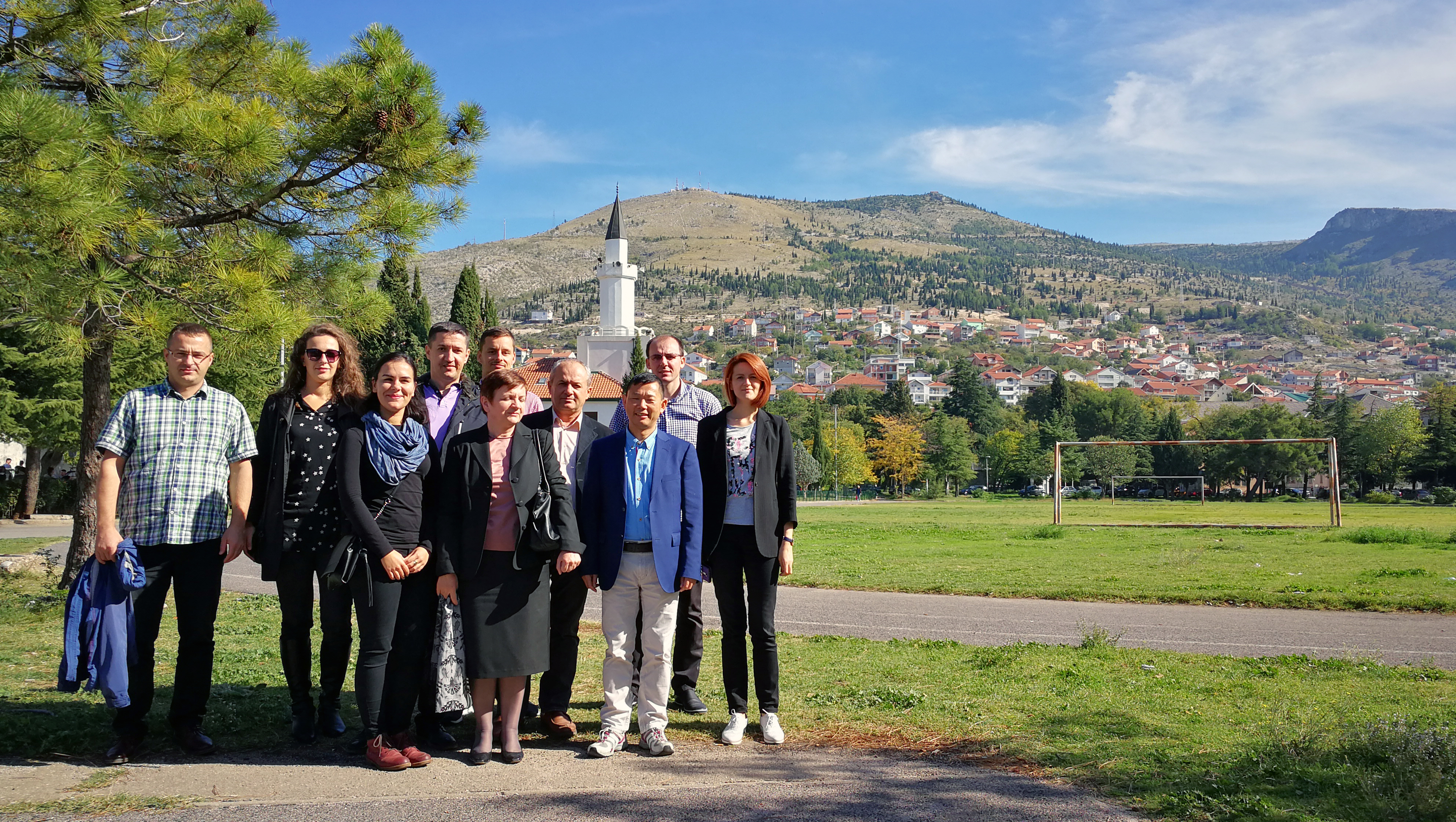
Training course on modern geodetic concepts
This training course was given at University of Mostar, Bosnia and
Herzegovina, on October 16-20, 2017. About 16 participants attended the
training course. 9 invited speakers from Austria, Sweden, Serbia, Hungary
and Spain have given lectures on selected topics in modern geodesy:
- advanced
GNSS technologies
- geodetic
reference systems
- new
mapping technologies (laser scanning, georadar & geosensors,
LiDAR, UAV)
- physical
geodesy
The training programme can be downloaded here.
Lecture
presentations can be downloaded below:
Daniel Landskron. Modeling tropospheric delays in space geodetic techniques
Anna Jensen. High accuracy GNSS
positioning.
Robert Weber. Reference systems for GNSS
users.
Robert Weber. Determination of high frequency EOPs by
GNSS.
Huaan Fan. Geodetic reference systems, an
overview.
Huaan Fan. Introduction to physical
geodesy.
Huaan Fan. Global gravitational
models.
Huaan Fan. Geoid
determination by the KTH
method.
Marko Pejic
Lóránt Földváry
Aleksandar Ristić, Miro Govedarica & Milan Vrtunski.
GPR
applied to detection and localization of utilities in urban areas.
Aleksandar Ristić, Milan
Vrtunski & Miro Govedarica.
Geosensor networks and their usage in
geomatics.
Flor
Álvarez Taboada.
Airborne
LiDAR: applications to land surveying, engineering and forestry.
Flor
Álvarez Taboada.
On-line active learning at the University of Leon (Spain), experiences with a happy ending
Enoc
Sanz Ablanedo.
Mapping
using UAVs: Opportunities, Limits and Challenges.